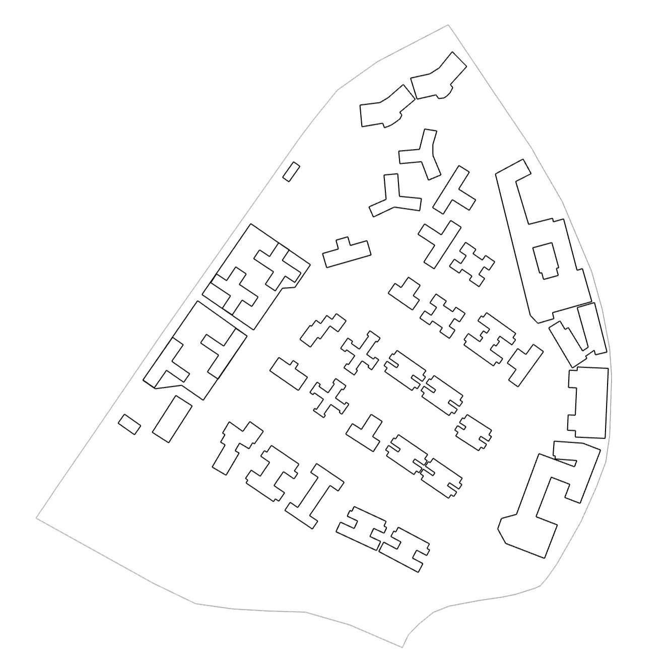
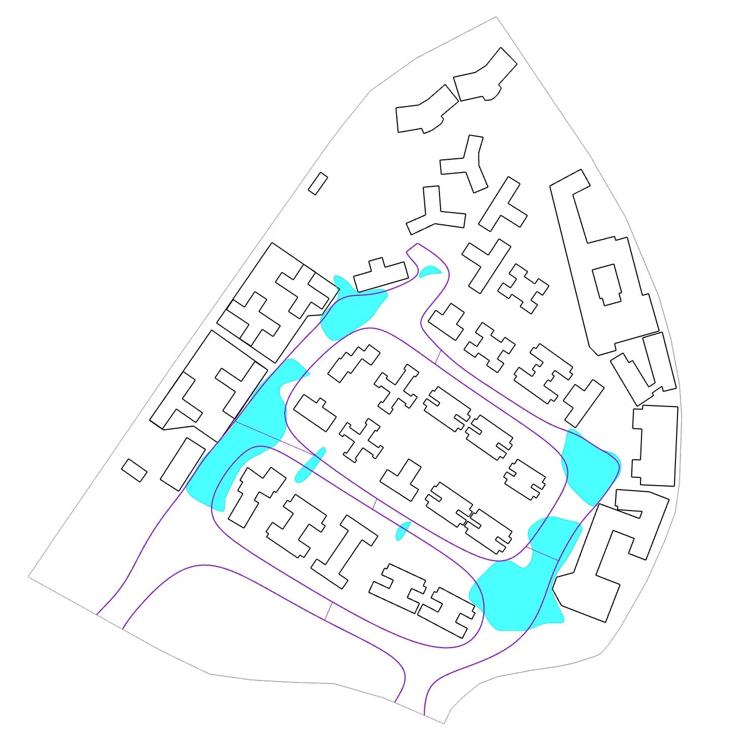
We start by extracting site data from OpenStreetMap, our script can analyse the site with any 2D parameters and generates a heat-map to visualise the favourable spots. With these spots extracted, we can proceed to the next stage and join them all together to form a continuous walkway.


